
Consulting & training
Geospatial energy analysis
Maps reveal what tables cannot: where infrastructure is, who is connected, and where investment is needed.
What we deliver
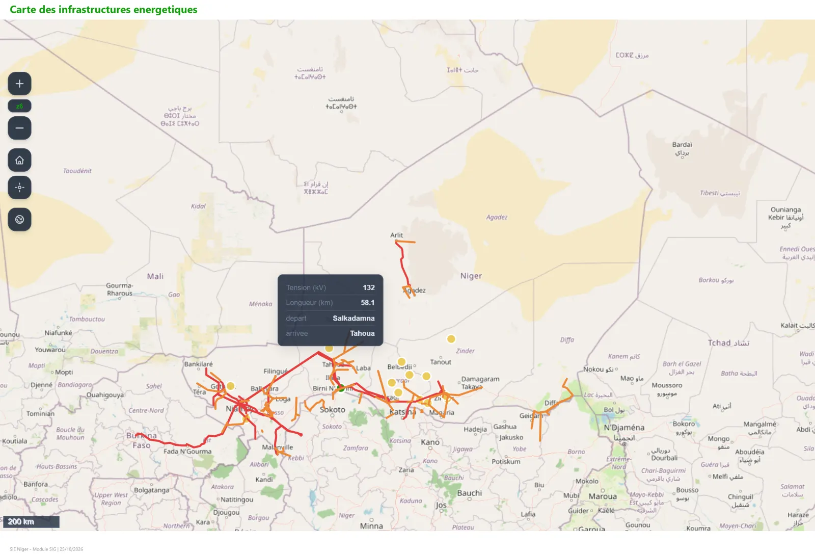
- Inventory and mapping of energy infrastructure: power plants, grids, substations, fuel depots
- Spatial analysis of electricity access and renewable resource potential
- Energy atlases combining maps, statistics and indicators
- GIS databases and web maps integrated with your energy information system
Contact
Let’s talk about your project
Tell us about your needs and we will get back to you quickly.
Contact us